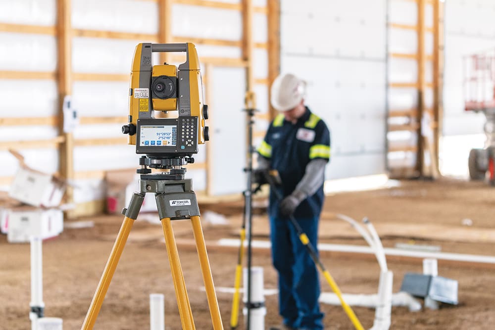
Pivotal to development planning by all Victorian councils as well as for design and construction endeavours; Feature and Level Surveys are conducted to ensure that permanent site control can be established and coordinated to the MGA (Map Grid of Australia) and/or local datum and elevations are referenced to the AHD (Australian Height Datum). Executing a Feature and Level Survey will allow you to move forward with the design, construction and development of your property smoothly and without constraint.

Significant elements that the survey will include are:
– buildings, their eave & ridge heights
– window locations
– contours
– adjoining dwelling information
– fencing
– utilities and drainage information
– significant trees, vegetation
– crossovers
– kerbs, driveways, paths, embankments and channel levels
– council Rescode requirements
These will all be displayed on a Plan of Existing Conditions which builders, architects and designers will require to further their work. If your site is in a 1% flood overlay, the mandatory AHD connection will also rely on a precise Feature and Level Survey. Accurate Feature and Level Surveys not only provide necessary information to conform with local regulations but also provide critical evidence during disputes with neighbours, VCAT or any other parties.
